How Many Miles Is The U.S. Across? Start Your Trip Now!

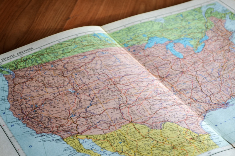
The length of the United States is 2 800 miles wide when measured horizontally from the eastern seaboard to the west coast (From West Quoddy Head in the east to Point Arena in the west) and 1,582 miles from north to south. We’ll look at the distance needed to travel from the east of the United States to the west in this article.
How Many Miles Do You Cover When Driving Across The U.S.?
You may have to travel between 2,448 miles and 3,662 miles when going from east to west (or vice versa), depending on the route you choose to take across the United States. Driving laterally across the United States could take anywhere between 36 and 56 hours, according to this.
Driving across the United States vertically takes much less time; you’ll need to travel 1,384 miles from north to south near the West Coast and 2,071 miles from east to west.
Lateral Routes (East And West)
People usually refer to traveling from east to west or vice versa when they inquire about the distance across the US. There are several ways you could travel laterally across the US because it is such a big country with numerous highway networks.
There are three different routes that we will examine. The scenery and historical significance of each of these routes will differ greatly from one another.
The Southern Route (Florida To California)
- Distance: 2,448 miles
- Time: 36 hours
- 8 states
The start of the measured route, which we will formally begin at Jacksonville Beach, is located just west of Jacksonville, Florida, where Interstate 10 begins.
This route across the United States is one of the most interesting because you can stay on one highway the entire time and it literally takes you from coast to coast. Pretty crazy.
This is one of the most practical ways to drive across the United States because of the highway efficiency and shorter distance of about 2,450 miles.
This route crosses the Florida Panhandle, passing through cities like Tallahassee and Pensacola as well as some stunning Gulf Coast beaches, after beginning on Florida’s Atlantic coast.
You’ll make a very short trip through Alabama and makes a brief detour through Mississippi after passing through Mobile. The perfect time to visit “The Big Easy” is now since New Orleans is not very far off the route.”
Additionally, you’ll be driven to Baton Rouge, which is home to LSU and the location of the famous Mississippi River crossing. When you finally reach Houston, Texas, the fourth-largest city in the US, you will have traveled through bayou country before entering The Lone Star State.
The journey continues through the stunning Texas Hill Country, which is a wonderful place to visit in the spring when the bluebonnets are blooming, before arriving in the historic city of San Antonio, where you can stop to see the Alamo.
The landscape dramatically changes once you pass the Hill Country and enter the West Texas desert. Soon after, mountains appear over the horizon, and for miles in every direction, all that is left is a highway and wide-open spaces.
When you finally reach Texas’s southernmost point, El Paso will be your destination. From there, you can travel through Las Cruces and the rest of southern New Mexico. The nearby White Sands National Park is a very alluring pit stop.
As you travel through Tucson’s mountainous Sky Island neighborhood (which is home to Saguaro National Park), you will get a chance to experience the splendor of southern Arizona before arriving in the expansive metropolis of Phoenix.

Middle Of The Country
- Distance: 3,026 miles
- Time: 45 hours
From Virginia Beach, Virginia, to San Francisco, California, you can travel the rest of the way by following this route, which cuts straight through the middle of the nation.
You travel on Interstate 64 directly through Thomas Jefferson’s Monticello as the route begins in places like Norfolk and Richmond. (There are many fascinating side stops along the way if you enjoy history.)
As you travel through West Virginia and Virginia on your way to Kentucky, you’ll see a lot of the Appalachian Mountains.
Once in Missouri, you can visit St. Louis. Kansas’ Great Plains are reached after passing through St. Louis and Kansas City.
After a quick detour to the magnificent Rocky Mountain National Park, you can continue on to Denver from there. Before venturing a little bit into Wyoming and then descending into Salt Lake City, take in the beautiful scenery and fresh mountain air.
At that time, you should visit the Golden Spike, where the transcontinental railroad was finished, and perhaps go to the Bonneville Salt Flats.
You travel west on Interstate 80 through Nevada after leaving Utah. There isn’t much going on in this part of Nevada, but soon you’ll be passing right by the breathtaking Lake Tahoe and moving on to Sacramento and San Francisco.
The North Route (Maine To Washington)
- Distance: 3,575 miles
- Time: 55 hours
The easternmost city in the United States, Eastport, Maine, is where you could start if you started in Maine. From there, you could travel through northern states to Cape Flattery, which is where Washington’s tip is located. Cape Flattery is also where the contiguous United States northernmost point is.
This is a long, but very worthwhile route that will allow you to visit some of the most beautiful national parks in the US and also give you a taste of some interesting cities like Boston and Chicago.
If you’re into colonial history there is plenty to see and explore.
If you don’t mind deviating from the path, you could start this trip with a visit to the magnificent Acadia National Park and then continue on to Portland, Maine, where you should definitely indulge in a few lobster rolls.
Starting this road trip in late September or early October gives you the chance to witness some absolutely stunning color changes in Maine, upstate New York, and other states like New Hampshire and Vermont.
You can descend and choose to visit Salem, Massachusetts, where you can retrace the steps of the Salem witch trials, as well as historic Boston.
Then you’ll speed through the old city of Albany, New York, before reaching Syracuse and Buffalo, which is close to Niagara Falls.
From there, you’ll travel through Cleveland, Toledo, and Chicago at the base of Lake Michigan while following Lake Erie.
Then, turn northward and travel through Madison, Wisconsin, and the southern part of Minnesota until you reach South Dakota.
As you approach the Black Hills National Forest, you might stop at Mount Rushmore before continuing into southern Montana. You are not too far south of Yellowstone National Park and Grand Teton National Park.
Your journey will take you through Missoula, and if you have the time, you can always take a detour to Glacier National Park.
Prior to traveling to Spokane and exploring Eastern Washington, you’ll get a taste of Idaho along Interstate 90.


